
Explore the World with Google Maps: A Fun (and Useful!) Way to Teach Not-Just-Geography
Google Maps is great for geography. But have you tried it for history? Google Maps & Earth are a fun techie way to do both.
When MapQuest & Yahoo! Maps came on the scene, we were living in the Chicago area. And our map of Chicagoland was an inch-thick book. Navigating the city with that thing was an experience. And it’s why I quickly adopted printed directions.
My first kiddo loved maps from a tiny age. But, stuck in a mindset of “good” homeschoolers don’t use technology, it took me a decade to incorporate Google Maps & Earth into our homeschool. Now we use it several times a week.

Make Your Own Custom Google Maps
For the last two years, we’ve used a geography curriculum that included researching tourist destinations & creating travel plans. Perfect opportunity to create our own custom Google map! We’ve also used them to track the places we’ve studied in history & in a couple of our bite-size unit studies.
How do you create one?
- On your computer, sign in to My Maps.
- Click Get Started & then Create a New Map
- Give your map a name and description.
Now, you’re ready to add your locations.

- Use the search bar at the top just as you would Google or regular Google Maps.
- When you find your location, click +Add to Map.
- Continue this for each location. (You can always come back later to add more.)
That’s it! Super easy, right?
Organize your list by dragging-and-dropping locations. You can further organize it by clicking on the paint icon next to each location to change the color and/or the icon.
What else could you do with a custom Google map?
- Do you have an avid reader? Create a map for each kiddo or a shared family map. As you read books — for school or otherwise — find the setting on the map.
- Create a map to track the journey of an explorer.
- Add the locations of each news story you learn about this school year.
- Use a custom map to show all of the places your family has visited. Or create a bucket list map.

Go sightseeing…virtually!
You wake up tomorrow & find an unlimited prepaid credit card in your school room. What do you do with it? I’d book all sorts of trips as quickly as I could.
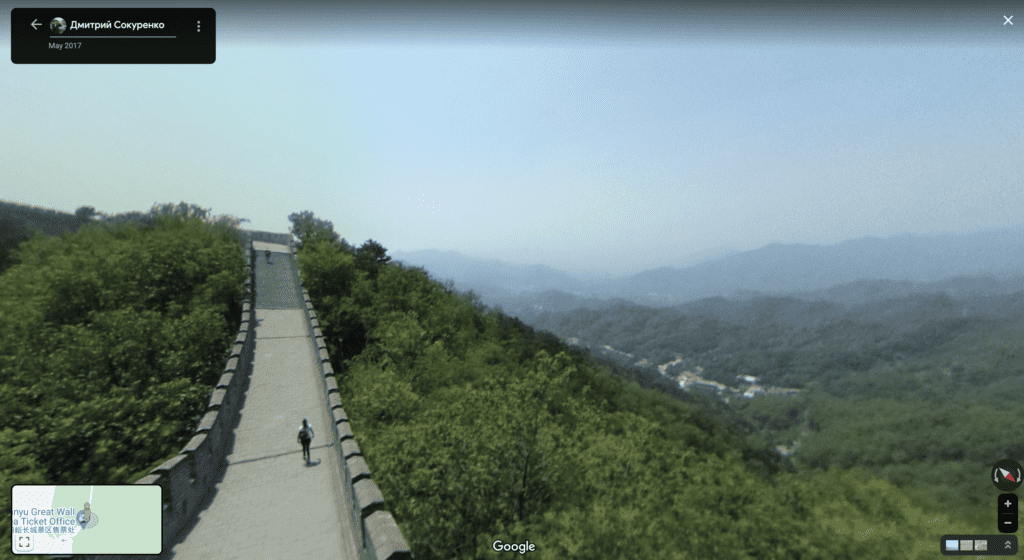
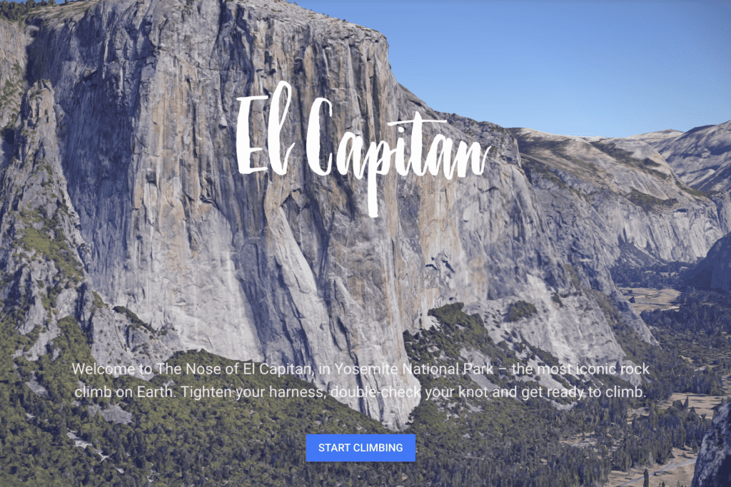
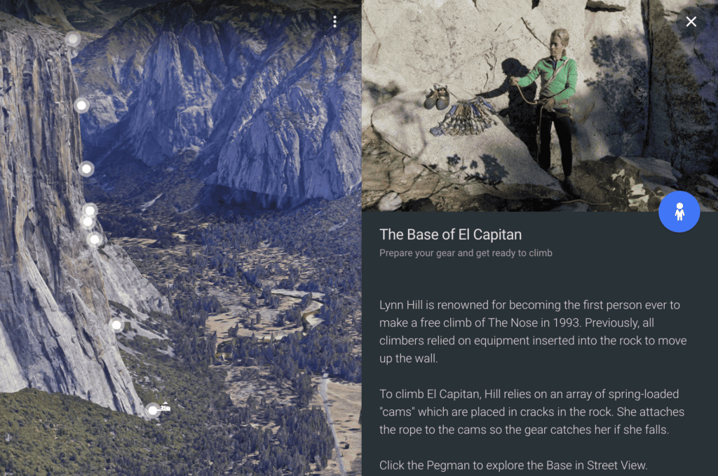
Until that happens, we’re stuck with virtual field trips. Google has put together Treks to many iconic locations already. Another easy way is to peek around a location on the other side of the world (or your state) is via Google Maps. “Walking” around a location, you can look at the view, check out details like building materials, and what’s around it, and sometimes even read signs made for tourists.
We’ve even read menus for little restaurants in Italy!
- Open Google Maps & search for your field trip spot.
- To get to the Street View, look in the lower right corner for an orange peg man. (Check out the image above if you aren’t familiar with it.)
- Click on it and, while holding your mouse down, drag the man. Little blue circles will show up any place that you can drop him.
- Any place you can “walk”, you’ll see white arrows on the ground. Click on them to move around.
Done-for-you Google Earth Trips
Voyager Stories from PBS take you on a trip to explore the paths of famous explorers, including ibn Batutta, Zheng He, the Vikings, and our own Lewis & Clark.
Take an immersive, 3-D trip to the settings of your favorite books with Google Lit Trips. These free trips (link is delivered via email) are available for grades K-12
From deep into the ocean to the Earth at night. From schools around the world to deep inside the Amazon, Voyages will take you on a tour & educate you at the same time.
Sesame Street didn’t forget your younger kiddos! Sesame Street Girls Around the World introduces your little ones to 10 muppets from other countries.
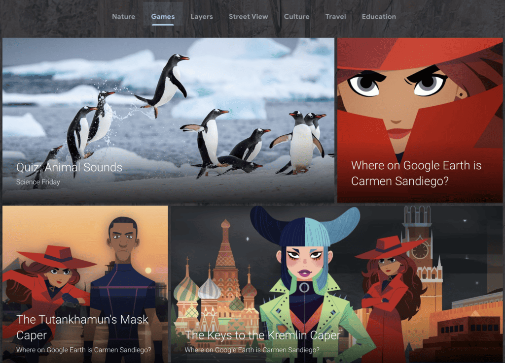
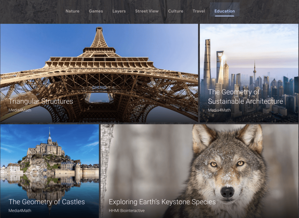
Google Earth has dozens of other resources, lesson plans, etc. ready for you to use.
6 More Ways to Use Google Maps & Earth
- Without using the search box, have your students find places they’ve learned about in history or geography.
- Using two windows/split screens, compare different rivers of the world. Look at their size, water clarity, industry, etc…
- Studying ancient history? Explore what the location looks like now.
- Pick a beloved book and explore the hometown of your favorite characters. Or the author.
- Play 20 Questions. One kiddo picks a spot — anywhere in the world — while everyone else narrows down the location. Map skills + questioning skills + slow thinking = WIN
- Pick a latitude and travel around the Earth to see how it looks at different points. Discuss other influences that change the geology, weather, and landforms.

About Tricia
Tricia is a 40-something mom to three. She loves Netflix, people, and laughter. And she firmly believes that homeschooling should include all three.
After years of ‘doing life’ — homeschooling, military life, homemaking — like others, she’s charting her own way… and loving it!
Don’t Miss These



When you buy through links on my site, I may earn an affiliate commission. My goal is to keep this site 100% reader-supported and free of ads or sponsorships. Your purchases help me make this possible. Thank you! Read more here.
I consider myself somewhat of a Google junkie so how did I not know about these features!? I can’t wait to use it in our homeschool this year!